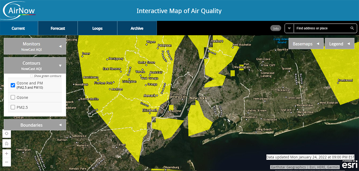
Custom AirNow Maps - Keeping It Simple
The current map is designed to retain your settings in the URL (the web address in the address bar in your browser). This allows you to set up the map the way you want it, then copy that URL and send to others to get the same view and settings.
For example, here is a screenshot centered on the Statue of Liberty:

Here's a link which goes to the same place in YOUR browser: https://gispub.epa.gov/airnow/?monitors=ozonepm&basemap=topographic&contours=none&xmin=-8297808.207469553&xmax=-8191102.1159835905&ymin=4936313.766780599&ymax=5000903.055681487
This link was created with the background switched to a different one than the default. Note that if you zoom or move the map, some of the variables change. That's because the Interactive Map updates the URL in real time. For example, if you go to the upper right and switch the Monitors checkbox from "Ozone and PM" to "Ozone", not only does the map display change to just Ozone monitors, but the part of the URL that says "monitors=ozonepm" also changes to "monitors=ozone."
It's not important to remember what each of these variables does, because the map generates these for you. What is important to remember is that as you change items on the map, the URL changes to reflect that, and if you copy and share that final URL, any person you share that URL with can click on that link and see the same map you do (although the map will modify itself slightly to fit in their different width and height).
This is true of pretty much anything you click on the map. The bottom line is:
- set it up for yourself the way you want it to look
- copy the URL
- embed this URL on your page as a link (or send it via email, text, or whatever)
Anyone clicking the link will get the map customized as you set it. That's all you need to do to create customized maps.
For those that want to do more detailed customization, read the following sections Building A Custom Map and Technical Reference.


